|
| Photo by me, July 2017. |
July of last year I was loafing around Northwest Georgia and stopped in the town of Euharlee in Bartow County to see the Euharlee Covered Bridge. It had been a long time, probably the early 1990s, since I was in this part of Bartow County and I was surprised by the growth. It seems the natural beauty that I have long admired about this county is slowly being plowed and paved over by sprawl fanning out from Atlanta. People have long said that it was eventual that the area between Chattanooga and Atlanta was to become one long morass of sprawl and I believe it. Enjoy the natural beauty of these areas while you can before it becomes subdivisions and shopping centers.
 |
| Photo by me, July 2017. |
A brief history of the area notes that Euharlee became an incorporated town in 1870, but European settlers were in the area for at least four decades prior and Native American Indians for a much longer period. Bartow County was created in 1832 and originally named Cass County. It would not receive its current name until 1861 when the namesake General Lewis Cass opted to support the Union.
Earlier bridges over Euharlee Creek had first occupied the spot of today's covered bridge. The last one, before the covered bridge was erected, collapsed in 1871 killing two men on a wagon.
 |
| Photo by me, July 2017. |
 |
| Photo by me, July 2017. |
The covered bridge was constructed in 1886 and has a length of 138 feet. The bridge was in use until the late 1970s, but cars now use a nearby concrete bridge.
Though I grew up in neighboring Paulding County, we spent significant time in Bartow County. We camped at Lake Allatoona and took Sunday car drives in the area in the 1970s. Given my age at the time I do not specifically remember crossing the covered bridge, but I suppose it is possible.
 |
| Photo by me, July 2017. |
 |
| Photo by me, July 2017. |
The bridge is of the town-lattice design which is the common type of covered bridge found in Georgia. The timber used to construct the bridge is pine.
 |
| Photo by me, July 2017. |
 |
| Photo by me, July 2017. |
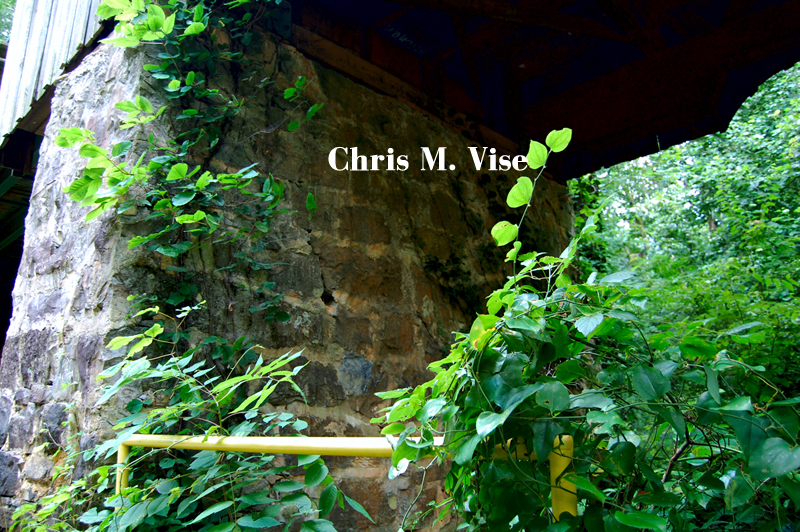
The supports underneath the bridge are made of stone.
 |
| Photo by me, July 2017. |
Looking up at the underside of the bridge you can see the crisscross pattern of the beams.
 |
| Photo by me, July 2017. |
Walking across the bridge you can see daylight coming up through the wood treads and the creek down below.
 |
| Photo by me, July 2017. |
Adjacent to the bridge are the ruins of the Lowry Grist Mill which predates the town and covered bridge. The mill was built by Nathaniel Burgess in 1834 and later sold. The eventual owner was Daniel Lowry II.
 |
| Photo by me, July 2017. |
 |
| Photo by me, July 2017. |
Today, all that remains of the old mill are the stone walls of the foundation.
 |
| Photo by me, July 2017. |
 |
| Photo by me, July 2017. |
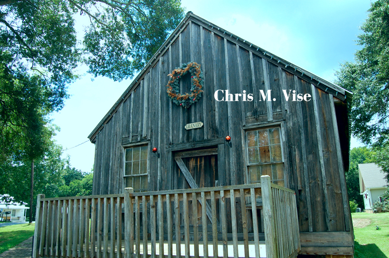
There are other historical buildings remaining in Euharlee and even an old well.
The natural beauty that remains in this part of Bartow County is worth seeing and so is the history that has been preserved. If you are a fan of covered bridges then Euharlee is a nice one to visit.