|
| Photo by me, October 2015. |
The day before Halloween, the fall weather was splendidly perfect. It was 2015, the sky was the deepest blue and the leaves were drenched in the electric peak fall color. That was the day I made my way out to and up Mount Oglethorpe.
Rising 3,288 feet above sea level Mount Oglethorpe is a historic place. The Appalachian Trail began or ended atop the mountain depending on which way you hiked from 1937 to 1958. In 1958 it was robbed of that title and the trail began/terminated at Springer Mountain, Georgia henceforth. Prior to 1930 the mountain was known as Grassy Knob but it received the honor of being renamed after James Oglethorpe who was the founder of the British colony of Georgia in 1733.
 |
| Photo by me, October 2015. |
 |
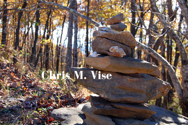
| Photo by me, October 2015. |
With the name change and the loss of the Appalachian Trail the mountain had just become a pretty part of the mountainous landscape and transmission towers and wildlife were the only things taking in the view from the summit. Then in the spring of 2014 the mountain was reopened to the public as Eagle's Rest Park which covers 107 acres. Dedicated volunteers cleared areas, built viewing platforms and established a hiking trail network. Human life had returned to an important mountain in North Georgia.
 |
| The Atlanta skyline is just visible to the naked eye 50 miles to the south. Photo by me October 2015. |
 |
| Incredible fall color that day. Photo by me, October 2015. |
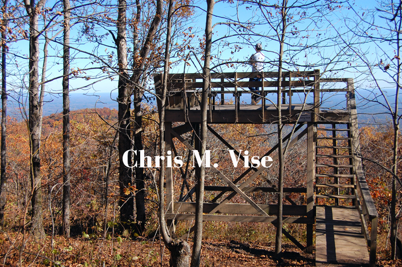
Mount Oglethorpe is situated in a unique location as the last significant peak in the Appalachian Mountain chain and where North Georgia becomes a wave of rolling hills to the south with only a few minor peaks. That location has the advantage of offering outstanding views in most every direction. It is one of the better summit views in the North Georgia mountains and one of the most accessible since you can drive to the top.
 |
| Photo by me, October 2015. |
 |
| Looking down at Lake Petit on the left and Sconti Lake in Big Canoe. Photo by me, October 2015. |
Driving out there is just as interesting as being there. Turning off Highway 136 a few miles east of Talking Rock you start on a narrow ridge at around 3,000 feet in elevation. The road becomes more narrow and twisty as you drive further and further out the ridge and over Sassafras Mountain to Oglethorpe. It's a slow drive with a few houses along the road clinging to the side of the ridge. There are points where the road opens up to inspiring views and then you reach Eagle's Rest Park. At the entrance you climb straight up the mountain road to the summit of Mount Oglethorpe. It is a fun drive and nothing something I would want to do in snow or ice.
 |
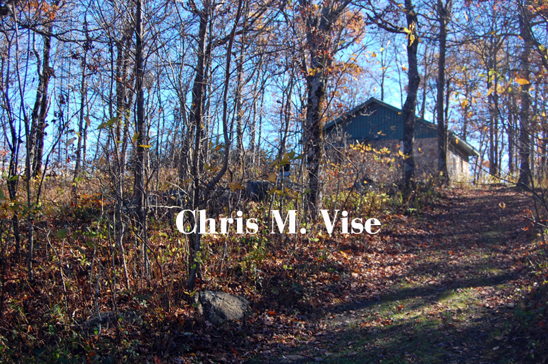
| An old stone building that sits at the top. Photo by me, October 2015. |
 |
| Photo by me, October 2015. |
 |
| Photo by me, October 2015. |
Mount Oglethorpe is 76 miles by car due north of downtown Atlanta or 50 miles as the crow flies from the center of the city. It is well worth the drive to go see a view that not many people have seen in recent times. In addition to the hiking trails at the summit there are also other trails that cross the mountain and lead to other areas.