|
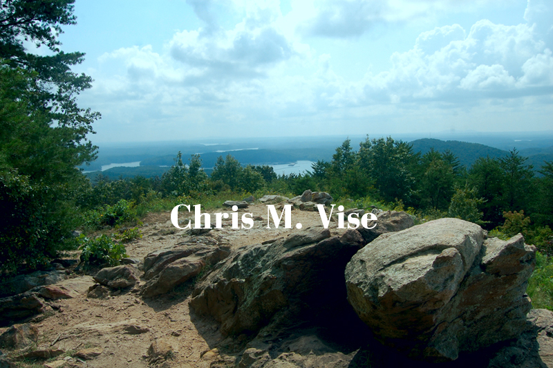
| At the top of Pine Mountain. Photo by me, September 2015. |
It was the first week of September 2015 and it was still hot and humid as it tends to be in the south that time of year when a friend, their dog and I decided to tackle Pine Mountain. Now this isn't to be confused with the other Pine Mountain down in central Georgia where President F.D.R. had his Little White House, no this is Pine Mountain in Bartow County northwest of Atlanta. You've probably been right by it plenty of times and never knew it heading north on interstate 75 from Atlanta to Chattanooga.
 |
| Downtown Cartersville is sneaking into the right side of the photo and power plant Bowen beyond that. Photo by me, September 2015. |
 |
| Photo by me, September 2015. |
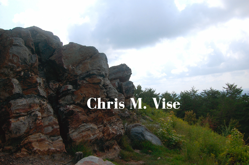
Pine Mountain is a minor mountain in terms of elevation at only 1,562 feet above sea level but it stands out nicely compared to the surrounding landscape of rolling hills and Lake Allatoona. It is also taller than its nearby cousin, Red Top Mountain. Once you arrive at the summit you do get nice views to the south, east and west from a large rock outcrop. You won't be fully escaping civilization because you will see the alteration of the landscape by human hands but this isn't like Kennesaw Mountain where it is surrounded by choking sprawl. Other than some people and their dogs that you might encounter this is a quiet trail so you can still enjoy nature without the sounds of traffic and you might encounter see a snake like we did.
We parked on the western side of the mountain at the trailhead located there but you can also approach the summit from a trailhead on the eastern side too, just be mindful of bikers on the eastern trail on certain days. This mountain which you can see from the interstate is immediately off it and once you exit and drive maybe one minute down the road there's the trailhead, so it's a convenient place to go for a hike.
 |
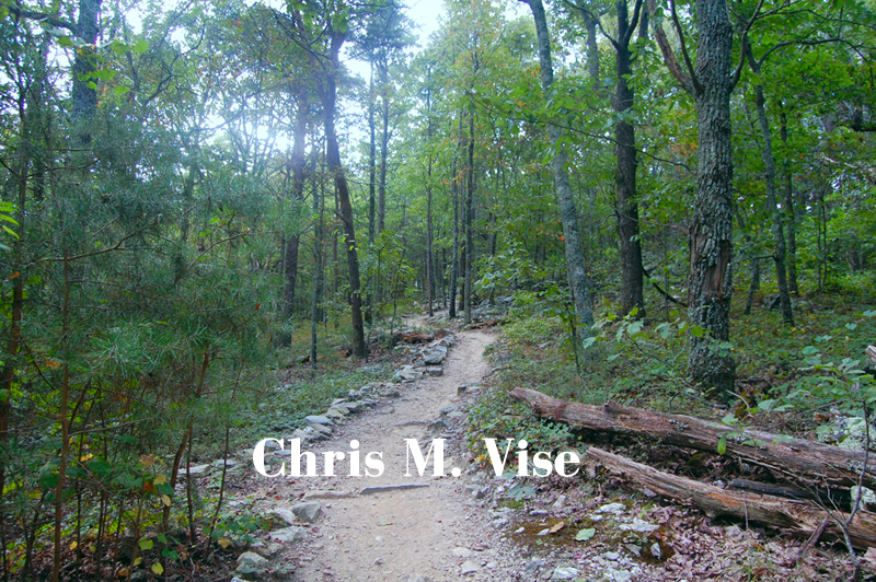
| The trail as it winds it up the western slope. Photo by me, September 2015. |
 |
| Large rocks overhangs and outcrops on the trails. Photo by me, September 2015. |
The western trail isn't steep or difficult except in a couple places otherwise it is a gradual climb with switchbacks. If you need a breather there are plenty of rocks or downed trees to take a break on. There is one creek crossing using a foot bridge at the very beginning but other the trail is dry. About midway as the trail climbs the terrain becomes more rocky and there are a few rocks jutting out on the trail so be aware of trip hazards. In total (up and down) we might have done two miles of hiking that day, which isn't much and I would have preferred to have done more but hiking with a small dog limited our mileage that day.
 |
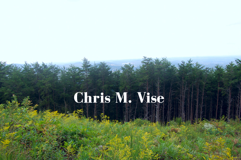
| Above the tree line clearing yellow weeds bloom in late summer. I believe these are goldenrod. Photo by my September 2015. |
 |
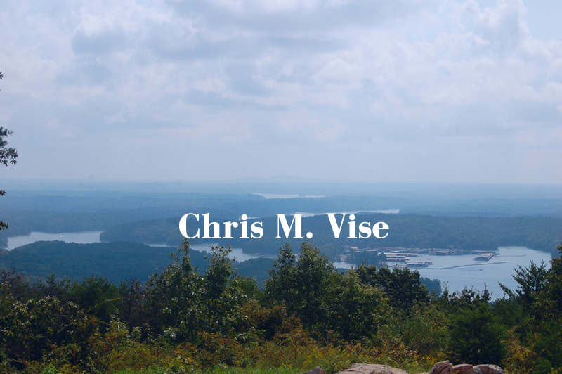
| Lake Allatoona as seen from the top. Photo by me, September 2015. |
 |
Photo by me, September 2015.
|